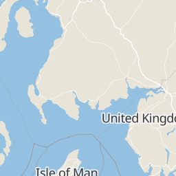
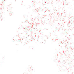
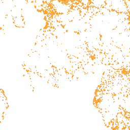
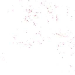
Vector and raster maps with GL styles
Filter
Filter styles and data by name or identifier
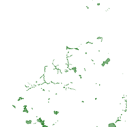
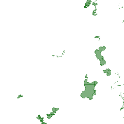
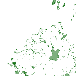
Styles
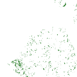
Areas of Outstanding Natural Beauty
identifier: latest--areas-of-outstanding-natural-beauty


Aviation and exclusion areas
identifier: latest--aviation-and-exclusion-areas


Explosive safeguarded areas, danger areas near ranges
identifier: latest--danger-areas

Conservation Areas
identifier: latest--conservation-areas
Ecology and wildlife
identifier: latest--ecology-and-wildlife


Inadequate wind speeds
identifier: latest--inadequate-wind-speeds


Landscape and visual impacts
identifier: latest--landscape-and-visual-impacts

Local Nature Reserves
identifier: latest--local-nature-reserves

MOD training areas
identifier: latest--mod-training-areas


OSM Nature Reserves
identifier: latest--osm-nature-reserves

National Nature Reserves
identifier: latest--national-nature-reserves
Other technical constraints
identifier: latest--other-technical-constraints
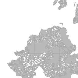
All constraint layers
identifier: latest--windconstraints
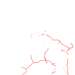
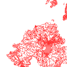
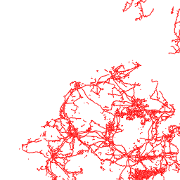
Public roads (A and B roads and motorways)
identifier: latest--public-roads-a-and-b-roads-and-motorways

Registered historic battlefields
identifier: latest--registered-historic-battlefields

Registered parks and gardens
identifier: latest--registered-parks-and-gardens
Scheduled Ancient Monuments
identifier: latest--scheduled-ancient-monuments
Special Areas of Conservation
identifier: latest--special-areas-of-conservation
Separation distance from residential
identifier: latest--separation-distance-from-residential
Special Protection Areas
identifier: latest--special-protection-areas
Sites of Special Scientific Interest
identifier: latest--sites-of-special-scientific-interest


World Heritage Sites
identifier: latest--world-heritage-sites

Hedgerows - UK - 50m buffer
identifier: Hedgerows - UK - 50m buffer

Bridleways - UK - 200m buffer
identifier: Bridleways - UK - 200m buffer
Public footpaths - UK - 150m buffer
identifier: Public footpaths - UK - 150m buffer


Local nature reserves - UK
identifier: Local nature reserves - UK

Power lines - UK - 150m buffer
identifier: Power lines - UK - 150m buffer
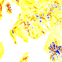
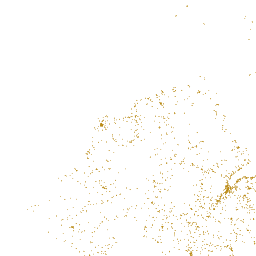
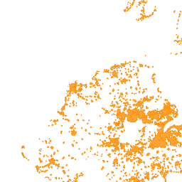
Windspeed - UK - Heatmap
identifier: Windspeed - UK - heatmap

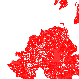
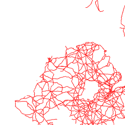
Public roads - UK - 150m buffer
identifier: Public roads - UK - 150m buffer

Inland waters - UK - 150m buffer
identifier: Inland waters - UK - 150m buffer
Separation distance to residential - UK - 400m buffer
identifier: Separation distance to residential - UK - 400m buffer


Railway lines - UK - 150m buffer
identifier: Railway lines - UK - 150m buffer

Pipelines - UK - 150m buffer
identifier: Pipelines - UK - 150m buffer

Data

Areas of Outstanding Natural Beauty
Civilian airports
Aviation and exclusion areas
Ancient woodlands
Conservation Areas
All constraint layers
Explosive safeguarded areas, danger areas near ranges
Heritage Coasts
Ecology and wildlife
Inadequate wind speeds
Heritage impacts
Inland waters
Local Nature Reserves
National Parks
MOD training areas
National Nature Reserves
Power lines
OSM Nature Reserves
Listed buildings
Other technical constraints
Public roads (A and B roads and motorways)
Public footpaths
Registered parks and gardens
Landscape and visual impacts
Separation distance from residential
Scheduled Ancient Monuments
Railway lines
Special Protection Areas
Special Areas of Conservation
Registered historic battlefields
Wild Land Areas
Sites of Special Scientific Interest
Ramsar sites
World Heritage Sites
gis/windspeed.mbtiles
planningconstraints_new.mbtiles
sites.mbtiles
gis/planningconstraints.mbtiles